
Footsteps Along the Parish Lines
Today we set out on Heritage Walks: Tracing Parish Boundaries on Foot, embracing quiet lanes, hedgerows, and weathered stones that have guided communities for centuries. Expect practical guidance, stories, safety tips, and map wisdom, plus invitations to share your favorite markers, subscribe for new route ideas, and join conversations that keep these edges of local identity alive.


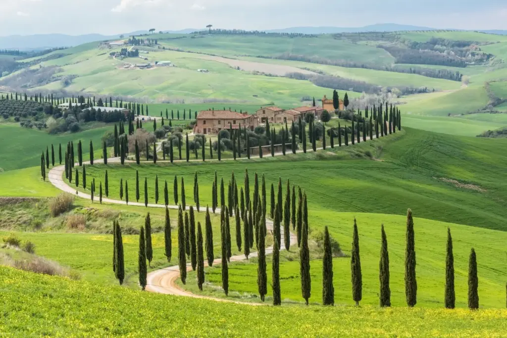

How to Read the Landscape Like a Historian
The land remembers. Learn to read hedges as handwriting, ditches as punctuation, and ridgelines as sentences connecting parishes. Discover subtle clues that survive modern change, from veteran trees to shifted paths, revealing patterns of worship, work, and neighborly negotiation written across centuries of shared ground.
Maps, Records, and Tools for Your Journey
Pair the romance of walking with the rigor of sources. Tithe maps, enclosure awards, early Ordnance Survey sheets, and parish registers offer layers of evidence. Blend paper and digital tools to cross-check alignments, validate hunches, and reveal how yesterday’s divisions still shape today’s paths, rights, and community ties.
Safety, Access, and Respect on the Path
Responsible walking protects landscapes and relationships. Know your rights, understand restrictions, and step gently where people live and work. Carry essentials, assess weather, and plan escape routes. Courtesy at gates, paths, and farmyards sustains trust, ensuring future walkers can enjoy and learn from these delicate, meaningful edges.

Know Your Rights: Public, Permissive, Private
Different paths have different obligations. Learn signage conventions, consult official records, and confirm permissive access that might be seasonal or revocable. If uncertain, ask politely and choose an alternative. Your choices model good citizenship, demonstrating how curiosity and care can coexist along centuries-old divisions and living communities.
Weather, Gear, and Sensible Pacing
Boundary lines often follow exposed ridges or riverbanks where conditions change quickly. Wear layers, carry water, and protect your map. Budget extra time for observation and note-taking. A slower pace keeps you safe, improves navigation, and allows the quiet details of parish edges to reveal themselves fully.
Farms, Dogs, Gates, and Good Manners
Fields are workplaces. Keep dogs on leads where livestock graze, close gates unless signed otherwise, and give machinery wide berth. Greet people, explain your purpose, and thank landowners for advice. Respect strengthens future access, maintaining pathways where memory, worship, and local cooperation have intertwined for generations.
Traditions that Keep the Lines Alive
Ceremony and custom transform lines on a map into living memory. From bell-ringing to chalk marks, communities have long affirmed boundaries with footsteps and stories. Understanding these practices deepens every mile, turning a simple walk into a shared act of remembrance, identity, and neighborly stewardship across time.
Beating the Bounds: Memory with Footsteps
Annual processions once touched markers so children would remember them for life. Today, reenactments blend learning with celebration. Document songs, prayers, and playful rites, noting how each reinforces a sense of place. Your respectful participation helps renew connections without turning heritage into spectacle or empty performance.
Church Bells, Boundary Boys, and Chalk Marks
Listen for stories of bell peals guiding walkers through fog, or chalk inscriptions renewing markers after winter storms. Oral histories capture quirks that no map records. Invite elders to share recollections, then cross-reference tales with documents to preserve traditions while separating charming myth from durable evidence.
Documenting Discoveries with Care
Good records turn fleeting impressions into knowledge others can trust. Combine clear photographs, sketched context, measured bearings, and short reflections. Back up files, caption thoroughly, and add credits. Invite feedback from local historians and walkers, refining interpretations and building a shared archive that grows more helpful with every step.
Photographs that Reveal What Eyes Might Miss
Use soft light to highlight earthworks and hedge banks, shoot from low angles to reveal profiles, and include a scale reference. Photograph surroundings, not just the object. A sequence showing approach, detail, and wider context helps others verify locations and evaluate your interpretation without standing beside you.
Field Notes, Sketches, and Margin Clues
Write what you see, not what you expect. Note sounds, smells, and textures; sketch alignments between trees, stones, and lanes. Record time, weather, and companion remarks. Small details like a different hedge species or curious gate hardware can unlock a century of local decision-making and boundary maintenance.
Route Design and Wayfinding
Thoughtful planning shapes a coherent experience from scattered clues. Build loops that balance effort and insight, choose start points near transport, and include rest spots where interpretation flows. Label contingencies for high water or closures, ensuring safety while preserving the narrative arc your footsteps will uncover.
Community, Collaboration, and Sharing
Parish lines thrive when people walk, talk, and compare notes. Invite neighbors, schools, and faith groups to join. Share maps, host friendly Q and A sessions, and encourage respectful debate over interpretations. Subscribe for new routes, add comments, and help refine future walks through generous, well-sourced contributions.
All Rights Reserved.