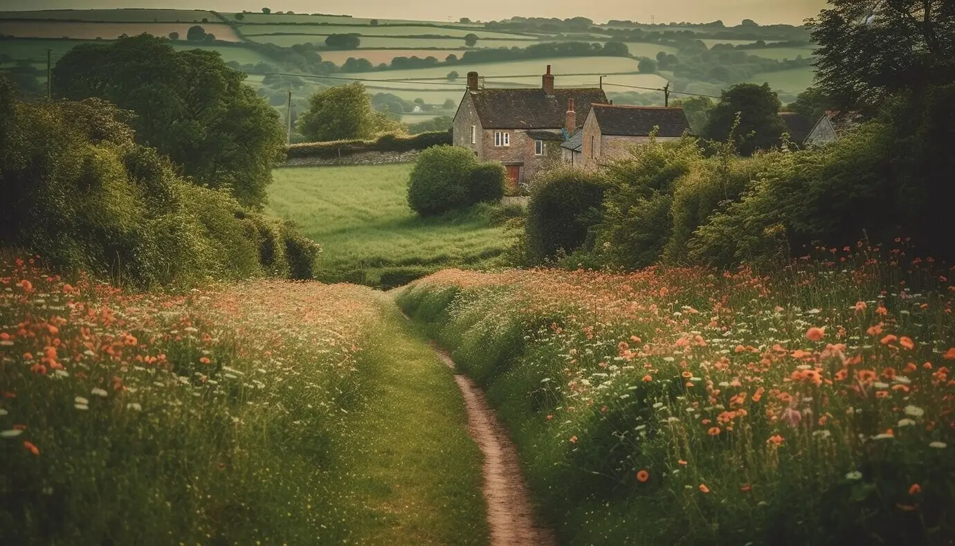
Neighbors with Compasses: Charting Parish Trails Together

Today we focus on community mapping of parish trail networks, bringing residents, walkers, parish groups, and local historians together to chart the paths that shape daily life. Expect practical steps, real stories, and approachable tools that transform quiet footpaths into shared knowledge, collective care, and long-lasting stewardship rooted in love of place.

Gathering Local Wisdom

Before any line touches a map, the most valuable data walks on two feet. Elders recall vanished gates and seasonal shortcuts, youth spot playful detours, and parish gardeners know ground conditions by heart. We weave stories, memories, and careful observation into a shared understanding of where trails lead and how they connect communities.

Listening Walks and Story Circles

Start with slow walks where conversation sets the pace. Invite neighbors to narrate the smells after rain, the tricky stile in winter, and the place where owls nest. After walking, gather for a story circle, capturing memories on sticky notes and sketched maps, turning lived experience into guideposts everyone can follow.

Volunteer Mapathons that Feel Like Picnics

Transform mapping into a friendly gathering with tea, snacks, and big printouts under a parish hall roof. People cluster around tables, draw connections, and compare recollections. Laughter dissolves uncertainty, and a playful spirit encourages contributions from shy voices, ensuring paths, landmarks, and hazards are captured without pressure or technical barriers blocking participation.

Building Trust with Faith Communities and Clubs

Partnerships with parish councils, hiking clubs, and youth groups nurture consistency and care. Introductions from familiar faces calm skepticism and invite stewardship. When trusted leaders open doors, people share precisely where puddles persist, brambles invade, and discreet rest spots exist, creating maps grounded in respect, dignity, and nuanced understanding of local needs.

Field Methods That Work

Effective mapping thrives on simple, repeatable habits. Phones capture coordinates, notebooks hold observations, and flagging tape marks key junctions. Teams pair experienced walkers with newcomers, ensuring safe travel, careful documentation, and inclusive dialogue. The result is dependable data, collected kindly and consistently, ready to be transformed into maps neighbors can trust.

Simple Tools: Phones, Flags, and Notebooks

Use what people already own and understand. A smartphone records tracks, photographs gates, and pinpoints muddy trouble spots. Biodegradable flagging tape marks intersections for later verification. Notebooks capture names locals use for places, informal agreements about passage, and reminders to revisit after storms, ensuring nothing important slips through hurried fingers.

Capturing Conditions and Accessibility

Record more than lines. Note surface types, slopes, steps, railings, and resting places. Photograph widths and barriers to inform stroller, wheelchair, and mobility-aid access. Mark shade, lighting, and distances between benches. Accessibility data turns a pleasant route into a welcoming path, allowing more neighbors to participate without guesswork or discomfort.

Seasonality and Safety Observations

Trails change character with weather and time. Document icy patches after frosts, flooding after downpours, and long grass in midsummer. Observe sightlines near roads, dog walking habits, and dusk activity. These details help communities plan signage, maintenance schedules, and recommended hours, creating safer experiences that respect local rhythms and wildlife patterns.

From Notes to Living Maps

Raw observations must become navigable, attractive, and trustworthy maps. Open data avoids paywalls. Clear symbology communicates quickly. Metadata records who contributed and when. A living map is updated seasonally, inviting feedback from walkers and caretakers, turning static lines into a continually improving resource that reflects real paths and real decisions.

Choosing Platforms without Paywalls

Favor open-source tools and community-friendly licenses so parish members can download, print, and remix the map without hidden costs. When software is accessible, the project survives leadership changes and budget dips, allowing students, volunteers, and neighboring parishes to collaborate, replicate successes, and keep shared knowledge visible and resilient across generations.

Data Cleaning as a Collective Ritual

Host a tidy-up evening where overlapping tracks are reconciled, duplicate points merged, and notes clarified. Assign buddies to cross-check photographs and measurements. This gentle ritual teaches quality assurance while celebrating contributions. People leave proud of their precision, understanding how clarity and consistency turn scattered observations into trusted guidance for everyday walkers.

Inclusion, Access, and Belonging

A parish trail map should welcome every neighbor. That means multilingual labels, attention to mobility needs, and inviting opportunities for youth and elders to lead together. Belonging grows when people see themselves in routes, photos, and stories, transforming casual walks into shared rituals that heal isolation and encourage gentle stewardship.

Stewardship and Maintenance

Maps guide feet, but care keeps routes open. Establish agreements about clearing brambles, repairing steps, and reporting obstructions. Offer small tools and microgrants. Celebrate caretakers publicly. When maintenance becomes communal and joyful, trails remain safe, habitats thrive, and the map stays truthful, reflecting attentive hands and steady neighborhood commitment.

Sharing, Learning, and Ongoing Engagement

A map comes alive when people use it, celebrate it, and help it grow. Host guided walks, friendly challenges, and seasonal updates. Publish newsletters with new discoveries and gentle safety reminders. Invite feedback continuously, keeping doors open for newcomers who bring fresh energy, fresh questions, and the next round of improvements.

01

First Map Reveal as a Community Festival

Unveil the map beside homemade cakes, a children’s scavenger hunt, and short talks from contributors. A festive moment anchors memory and signals openness. Visitors leave with printed copies, QR links, and enthusiasm, promising to return with friends who will add details, stories, and fresh observations from their favorite twilight walks.

02

Guided Walks that Teach and Heal

Lead gentle routes highlighting heritage trees, bird calls, and safe shortcuts to schools and shops. Invite parish nurses, historians, and rangers to share insights. Walking together lowers barriers, fosters conversation, and reveals practical ideas for improvements that might never surface indoors, turning curiosity into care and care into responsible action.

03

Digital Engagement that Sparks Real Footsteps

Use short videos, friendly polls, and weekly prompts asking neighbors to share discoveries. Encourage micro-stories about first solo walks or restored confidence after injury. Digital sparks should return people to the path, generating observations that feed back into updates, keeping the map fresh, helpful, and grounded in authentic community experience.

Rurivamorufope
Privacy Overview

This website uses cookies so that we can provide you with the best user experience possible. Cookie information is stored in your browser and performs functions such as recognising you when you return to our website and helping our team to understand which sections of the website you find most interesting and useful.